Erweiterte Suche
H x B: 41 × 60 cm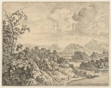
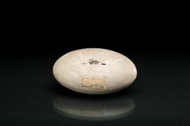
![Plücker'sche Flächen: entspricht dem Modell [A73/Ac47], welches vier reelle doppeltzählende Gerade hat](/internal/media/dispatcher/14889/thumbnail)


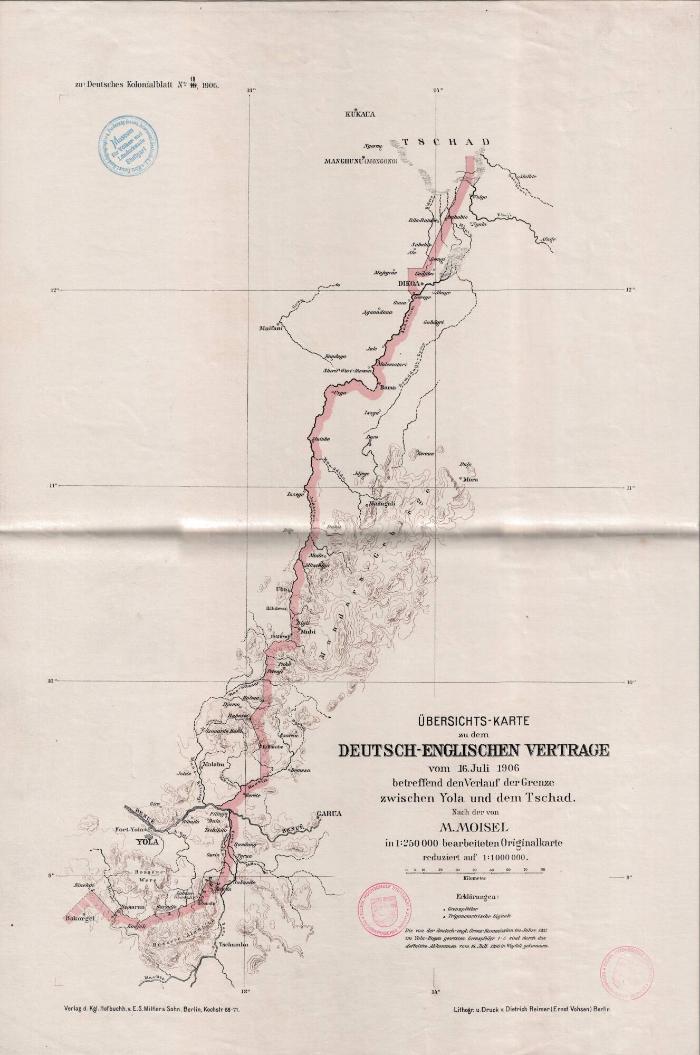
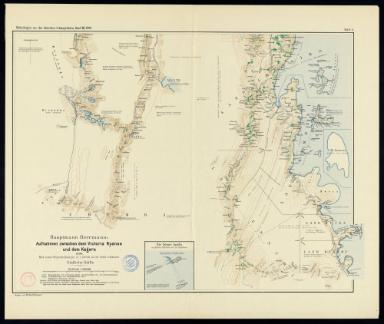
Übersichts-Karte zu dem deutsch-englischen Vertrage vom 16. Juli 1906 Grenze zwischen Yola und dem Tschad, reduziert auf 1:1.000.000
FachbereichGeographische Kartensammlung
Autor*in
Max Moisel, http://d-nb.info/gnd/117118672
Datierung1906
BeschreibungMaßstab: 1:100.000H x B: 41 × 60 cm
Objektnr.GEO-Ks-WA16
Jan van Aken
Hauptmann Herrmann
1896 (Expeditionszeitraum)


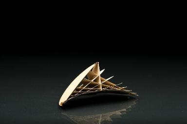
Prof. Dr. Julius Plücker http://d-nb.info/gnd/11879258X
nach 1880
Prof. Dr. Julius Plücker http://d-nb.info/gnd/11879258X
nach 1880
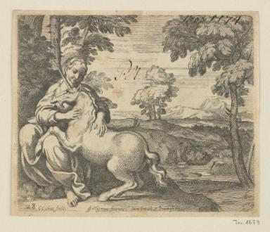
Peter von Bemmel
Jacques Bellange
Stefano della Bella
Jost Amman
Jost Amman
Domenico Campagnola
Jost Amman
Jost Amman
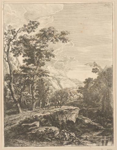
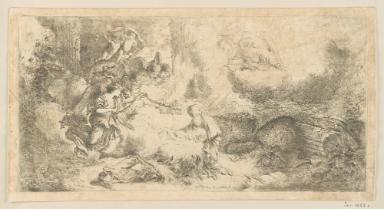
Giovanni Benedetto Castiglione
Giovanni Benedetto Castiglione
Giovanni Benedetto Castiglione
Carlo Cesio